
23-06-2016 14:32 | Estofex | m.b.t. 23-06-2016
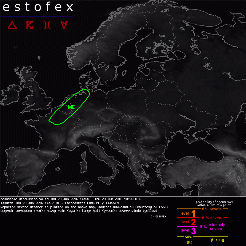
Mesoscale Discussion
Valid: Thu 23 Jun 2016 14:00 to Thu 23 Jun 2016 18:00 UTC
Issued: Thu 23 Jun 2016 14:32
Forecaster: LANKAMP / TIJSSEN
Convective debris is quickly moving away in The Netherlands and Belgium, allowing a couple of hours of strong insolation and surface heating. Surface observations indicate that air mass recovery is fast, with 28 to 30 degrees in large areas and dew points in the lower 20's (20-22)... resulting in mixing ratios of 15-17 g/kg.
The afternoon soundings (12Z) from Trappes and Essen appear largely clear of convective debris. These show slightly less steep mid-level lapse rates than anticipated from DMO output, however, 1500 to 2000 J/kg of CAPE should be available.
As the upper level trough moves eastward, DLS is expected to increase to ~ 23-25 m/s over the eastern parts of Belgium and The Netherlands... and western Germany... in the evening hours. There is a good shear/instability overlap over much of the region and it should provide adequate support for strong and long lived convection.
Satellite images reveal that cumulus convection has started in an area from N France to NW Germany. In the coming hours CI is expected to evolve in this area. Initially, scattered to isolated initiation is expected, as a result of thermal destabilization. At a later stage, storms are expected to cluster as the shear profile gradually becomes more unidirectional.
At time of writing, 1400 Z, surface winds are still backed to the SE or E over eastern NL and Belgium and W/NW Germany, in some places even NE. Using a modified blend of the Trappes/Essen soundings, this results in 100-150 m2/s2 of 0-1 km SRH. Therefore, given the strong instability and presence of more than decent shear, there is a moderate to high risk of large hail (3-5 cm) and damaging wind gusts with any storm that develops. If adequate low-level shear is present, a given storm could easily become a supercell and result in a risk of a (strong) tornado. Excessive convective precipitation is also possible, given the unusually high PW values of the airmass.
Hagel(-schade) | Onweer/blikseminslag | Structuur / meteofactoren | Tornado/hoosverschijnsel(en) | Wateroverlast/(zware) neerslag | Wind/storm (-schade)
