Storm Forecast valid: Thu 02 Jun 2016 06:00 to Fri 03 Jun 2016 06:00UTC
01-06-2016 22:56 - Estofex | m.b.t. 02-06-2016 t/m 03-06-2016
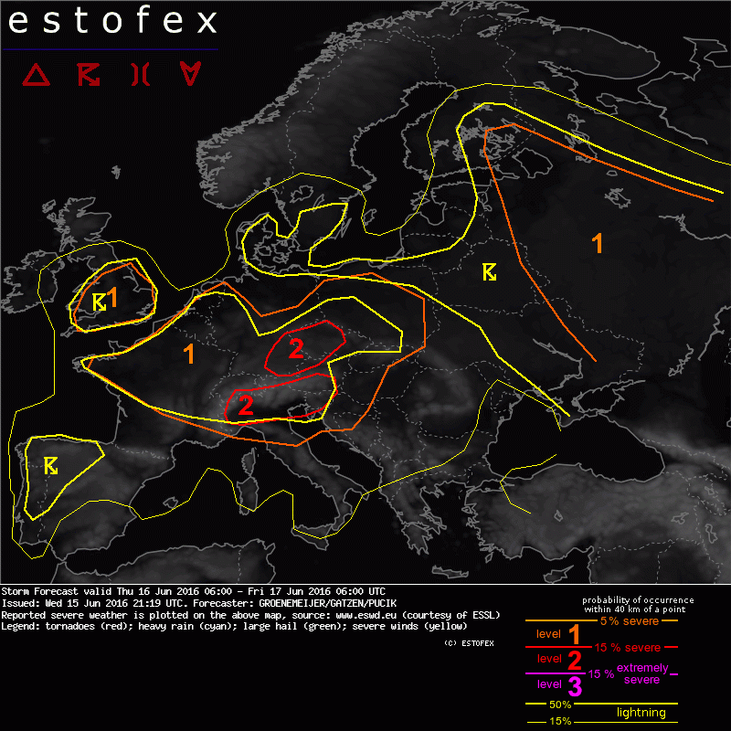
A level 2 is issued for N Germany mainly for excessive convective precipitation and to a lesser extent for large hail and severe convective wind gusts.
A level 1 is issued for parts of Italy, Austria, Germany, Denmark, the Czech Republic, Slovakia, Poland, the SW Ukraine and N Romania mainly for excessive convective precipitation.